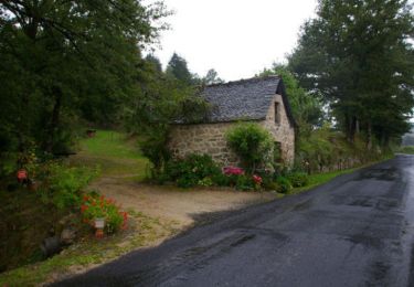
13.8 km | 18.8 km-effort
Le Fel
alainlissac
User
Length
10.2 km
Max alt
505 m
Uphill gradient
333 m
Km-Effort
14.6 km
Min alt
328 m
Downhill gradient
325 m
Boucle
No
Creation date :
2016-07-18 00:00:00.0
Updated on :
2016-07-18 00:00:00.0
2h58
Difficulty : Easy
FREE GPS app for hiking
About
Trail Walking of 10.2 km to be discovered at Occitania, Aveyron, Le Fel. This trail is proposed by alainlissac.
Positioning
Country:
France
Region :
Occitania
Department/Province :
Aveyron
Municipality :
Le Fel
Location:
Unknown
Start:(Dec)
Start:(UTM)
460399 ; 4944430 (31T) N.
Comments
Trails nearby
Le fel saint cyprien
sport
Very easy
Le Fel,
Occitania,
Aveyron,
France
104 km | 130 km-effort
Unknown
No
Espeyrac - Noailhac - Chemin de St-Jacques de Compostelle
Walking
Difficult
(1)
Espeyrac,
Occitania,
Aveyron,
France
19.5 km | 29 km-effort
4h 0min
No
12_espeyrac_entraygues_2024
Walking
Difficult
Espeyrac,
Occitania,
Aveyron,
France
20 km | 27 km-effort
6h 14min
No
12_ginolhac_crestes_2024
Walking
Difficult
Entraygues-sur-Truyère,
Occitania,
Aveyron,
France
18.2 km | 27 km-effort
6h 14min
No
Espeyrac Conque Montredon
Walking
Difficult
Espeyrac,
Occitania,
Aveyron,
France
47 km | 66 km-effort
10h 37min
No
entre bel air et le viala
Running
Difficult
Le Fel,
Occitania,
Aveyron,
France
38 km | 52 km-effort
3h 3min
No